Written Directions on a Napkin and a Prayer: How Americans Navigated Before GPS Made Getting Lost Optional
Somewhere in the mid-1990s, before the internet changed everything and well before the smartphone existed, millions of Americans were planning road trips the way their parents and grandparents had: by spreading a large, unwieldy paper map across the kitchen table and tracing a route with their finger.
They'd write down the highway numbers. Note the exits. Maybe call a friend who'd driven the same route and ask for tips. Then they'd fold the map back up — usually imperfectly, never quite returning to its original shape — tuck it in the glove compartment, and set off with a reasonable plan and a quiet awareness that things might not go exactly as expected.
Getting lost wasn't a failure of preparation. It was just part of driving somewhere unfamiliar. Everyone understood that.
The Map as an Act of Faith
American road maps have a surprisingly complicated history. The first widely distributed road maps were printed by oil companies in the early twentieth century — Standard Oil, Gulf, and Esso handed them out for free at gas stations as a way to encourage driving, which encouraged gasoline purchases. It was good marketing, and it genuinely helped people navigate a country that was rapidly building out its highway network.
But maps had a fundamental limitation that no amount of printing quality could fix: they were static. A map printed in 1987 showed the roads that existed in 1987. New construction, closed exits, rerouted highways, and changed road names all accumulated silently, turning old maps into increasingly unreliable documents. Most people kept maps in their cars for years without replacing them, which meant navigating with information that was quietly outdated.
Even fresh maps had problems. Scale made detail impossible in dense urban areas. Highway interchanges that were simple in concept became nightmarish tangles of spaghetti on paper. And reading a map while driving — something almost everyone did at some point — was genuinely dangerous in a way that seems obvious in retrospect.
The Ritual of Getting Directions
For shorter, more local trips, maps weren't always the tool of choice. Directions were. And asking for directions — or giving them — was an art form with its own particular conventions and failure modes.
The classic American set of handwritten directions was a masterpiece of optimistic imprecision. "Take Route 9 north for about fifteen miles, then turn left at the old Sunoco station" worked fine if the Sunoco station still existed, which it might not. "You'll see a big red barn on the right" was useful until the barn was painted white or torn down. Landmarks shifted, businesses closed, and the confident certainty of the directions-giver often bore little relationship to what the directions-follower would actually encounter.
Phone-based directions — calling someone who lived near your destination and asking them to walk you through the route — were better, but required having their phone number, catching them at home, and hoping their mental map of local roads matched reality. Long-distance calls cost real money well into the 1980s, which added a small financial calculus to the process.
For serious travel, the American Automobile Association — AAA — offered a service called TripTik, a custom-printed strip map created specifically for your planned route. You'd call or visit a AAA office, tell them your origin and destination, and they'd produce a personalized booklet that walked you through the journey turn by turn. It was genuinely useful, and it required planning your trip far enough in advance to obtain one.
The Emotional Geography of Being Lost
Being lost before GPS was a different experience than it is today — and not entirely a bad one, though it was often stressful. Getting turned around on a rural highway meant genuinely not knowing where you were. There was no blue dot. No satellite overhead tracking your position. Just the road, the signage (which was sometimes missing or contradictory), and your own best guess.
For many Americans, this created a particular flavor of road-trip anxiety that has almost entirely disappeared. The careful attention to mile markers. The habit of noting landmark intersections as you passed them, so you could find your way back if needed. The slight tension that came with every unfamiliar interchange, wondering if you'd taken the right fork.
Urban driving without navigation was its own challenge. Major American cities — Boston, Chicago, Los Angeles, Washington D.C. — each had their own particular ways of defeating out-of-towners. Boston's colonial-era street layout baffled generations of visitors. L.A.'s sprawl made distances feel abstract and deceptive. Driving in an unfamiliar city often meant circling blocks, pulling over to consult the map, and arriving late with a story about the traffic.
The Quiet Arrival of the Blue Dot
GPS technology existed in military applications for decades before it became a consumer product. The U.S. government's Global Positioning System became fully operational in 1995, and early civilian GPS devices — bulky, expensive, and slow — began appearing in cars and on dashboards in the late 1990s and early 2000s. They were luxury items at first, the kind of thing you'd find in a high-end rental car and marvel at.
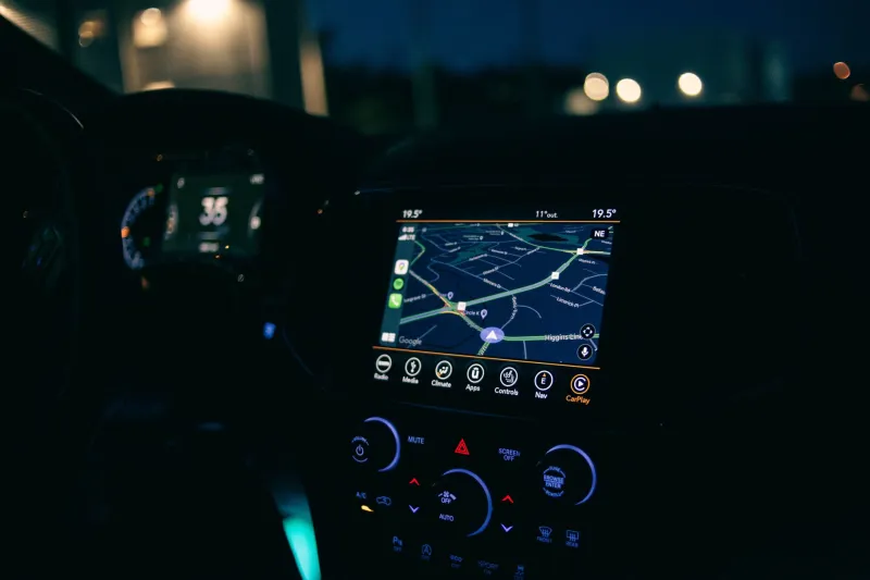
The real transformation came in two waves. First, dedicated GPS units from companies like Garmin and TomTom became affordable enough for ordinary consumers in the mid-2000s. Then, in 2007, the iPhone arrived, and within a few years, Google Maps had turned every smartphone into a real-time navigation system connected to live traffic data, satellite imagery, and constantly updated road information.
The shift was so fast and so complete that it's easy to forget how recent it is. Someone who learned to drive in 1995 spent years navigating without GPS. Someone who learned to drive in 2015 has probably never planned a road trip with a paper map.
Something Small That We Lost
There's an argument — not a particularly loud one, but worth making — that GPS navigation removed something from the experience of travel that had quiet value. Getting lost forced a kind of attention to your surroundings that turn-by-turn guidance doesn't require. You noticed more when you were trying to figure out where you were. Unexpected detours led to unexpected discoveries. The friction of navigation made the destination feel more earned.
None of that is a reason to go back. The safety benefits of reliable navigation are real. Fewer wrong turns mean fewer dangerous U-turns on busy highways. Fewer confused drivers mean fewer accidents. Real-time traffic data saves genuine hours every year for millions of commuters.
But the napkin with handwritten directions — passed across a table with confidence by someone who was pretty sure they remembered the route correctly — was its own small piece of American life. And it's gone now, as completely as the gas station maps that used to sit in every glove compartment, slowly going out of date.