When Every Wrong Turn Was a Twenty-Mile Mistake: America Before GPS
The Paper Fortress in Your Glove Compartment
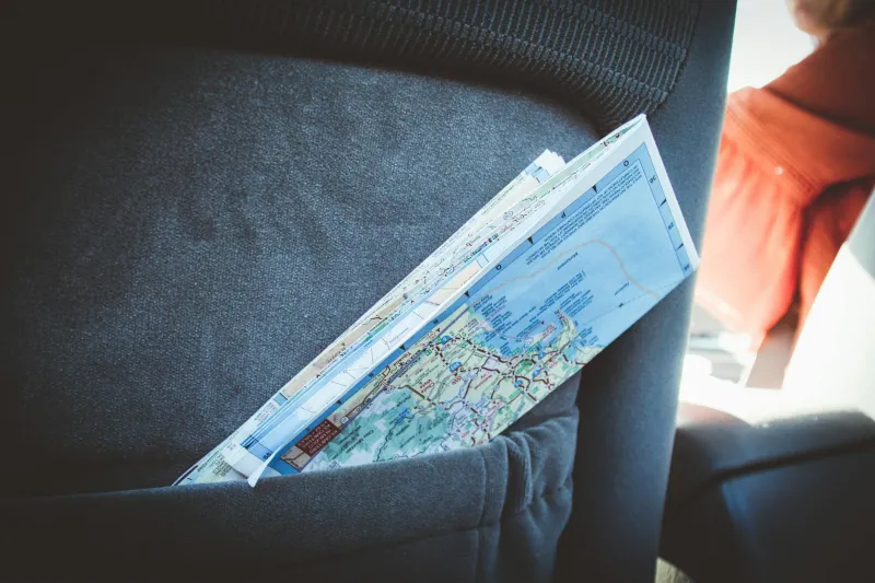
Open any American car's glove compartment in 1995, and you'd find a thick stack of folded paper maps — each one a small engineering marvel that somehow never folded back the way it came. These weren't just maps; they were survival tools. AAA TripTiks, state highway maps, and those impossible-to-refold gas station atlases were your only defense against the very real possibility of ending up in the wrong state.
Every family road trip began the same way: Dad hunched over the kitchen table at 6 AM, tracing routes with a highlighter while Mom called out mile markers from the phone book. The ritual was sacred because the alternative was genuinely terrifying — being lost, truly lost, with no way to know where you were or how to get home.
When Gas Stations Were Information Headquarters
Before Google Maps, gas station attendants were America's unofficial navigation experts. Pull into a Texaco in rural Kansas with an out-of-state license plate, and the guy behind the counter instantly knew what you needed. He'd grab a red pen, circle your destination on a complimentary map, and draw a route while explaining which roads to avoid and where to stop for gas.
These interactions weren't just transactions — they were lifelines. The attendant's local knowledge could save you hours of driving in circles. He knew that Highway 34 was under construction, that the bridge on Route 12 was out, and that if you missed the turn at Miller's Farm, you'd add fifty miles to your trip.
Today's GPS eliminates these human moments entirely. Your phone knows about construction delays and closed bridges, but it can't tell you which diner has the best pie or warn you that the next gas station doesn't take credit cards.
The Mathematics of Getting Lost
Missing your exit in 1990 wasn't a minor inconvenience — it was a mathematical disaster. Without real-time navigation, every wrong turn multiplied exponentially. Miss your highway exit, and you might not find another on-ramp for twenty miles. Take the wrong state route, and you could drive for an hour before realizing your mistake.
The truly terrifying scenario was getting lost in a major city after dark. Street signs were often missing or unreadable, one-way streets created endless loops, and finding your way back to a familiar landmark could take hours. Every American driver has a story about circling the same downtown blocks, growing increasingly panicked as their gas gauge dropped.
Compare that to today's reality: your phone knows exactly where you are within three feet, calculates the fastest route in real-time, and reroutes you around traffic jams before you even see them. The anxiety that defined long-distance driving for generations has simply vanished.
The Lost Art of Preparation
Planning a road trip in the pre-GPS era required genuine skill. You couldn't just punch in an address and go — you had to study your route like a military campaign. Experienced travelers kept notebooks with gas station locations, alternate routes, and landmark descriptions. They memorized exit numbers and highway intersections because there was no backup plan.
AAA's TripTik service was revolutionary precisely because it eliminated some of this guesswork. For a small fee, they'd create a custom strip map showing your exact route, complete with turn-by-turn directions and recommended stops. Getting your TripTik felt like receiving classified intelligence — suddenly, you had professional-grade navigation tools.
Today's GPS has made everyone an expert navigator, but it's also made us helpless without it. Most Americans under 30 have never used a paper map and would be genuinely lost if their phone died in an unfamiliar place.
What Disappeared With Perfect Navigation
When GPS eliminated the possibility of getting lost, something unexpected disappeared: serendipity. Those wrong turns that seemed disastrous at the time often led to discoveries — a better restaurant, a scenic overlook, a charming small town you never would have found otherwise.
Getting lost was frustrating and sometimes frightening, but it was also authentically human. It required asking strangers for help, developing spatial awareness, and accepting that not everything could be controlled or predicted. The journey itself mattered as much as the destination because the journey could genuinely surprise you.
The Precision Revolution
Today's navigation systems don't just prevent you from getting lost — they optimize your entire trip in real-time. Your phone knows about accidents before you hit traffic, suggests faster routes based on current conditions, and can even predict where you'll want to stop for gas. What once required hours of planning and considerable anxiety now happens automatically in the background.
This transformation happened remarkably quickly. The first consumer GPS devices appeared in the late 1990s, but smartphones didn't make turn-by-turn navigation universal until the late 2000s. In less than a decade, we went from folded paper maps to satellite-guided precision that would have seemed like science fiction to earlier generations.
The change represents more than just technological progress — it's a fundamental shift in how Americans experience travel and uncertainty. Getting lost used to be an inevitable part of any journey. Now it's so rare that when it happens, we assume our technology has failed rather than accepting it as a normal part of life.
For better or worse, we've traded the anxiety and adventure of navigation for the certainty and efficiency of GPS. Most would say it's an obvious improvement, but something distinctly human was lost when we stopped getting lost.